
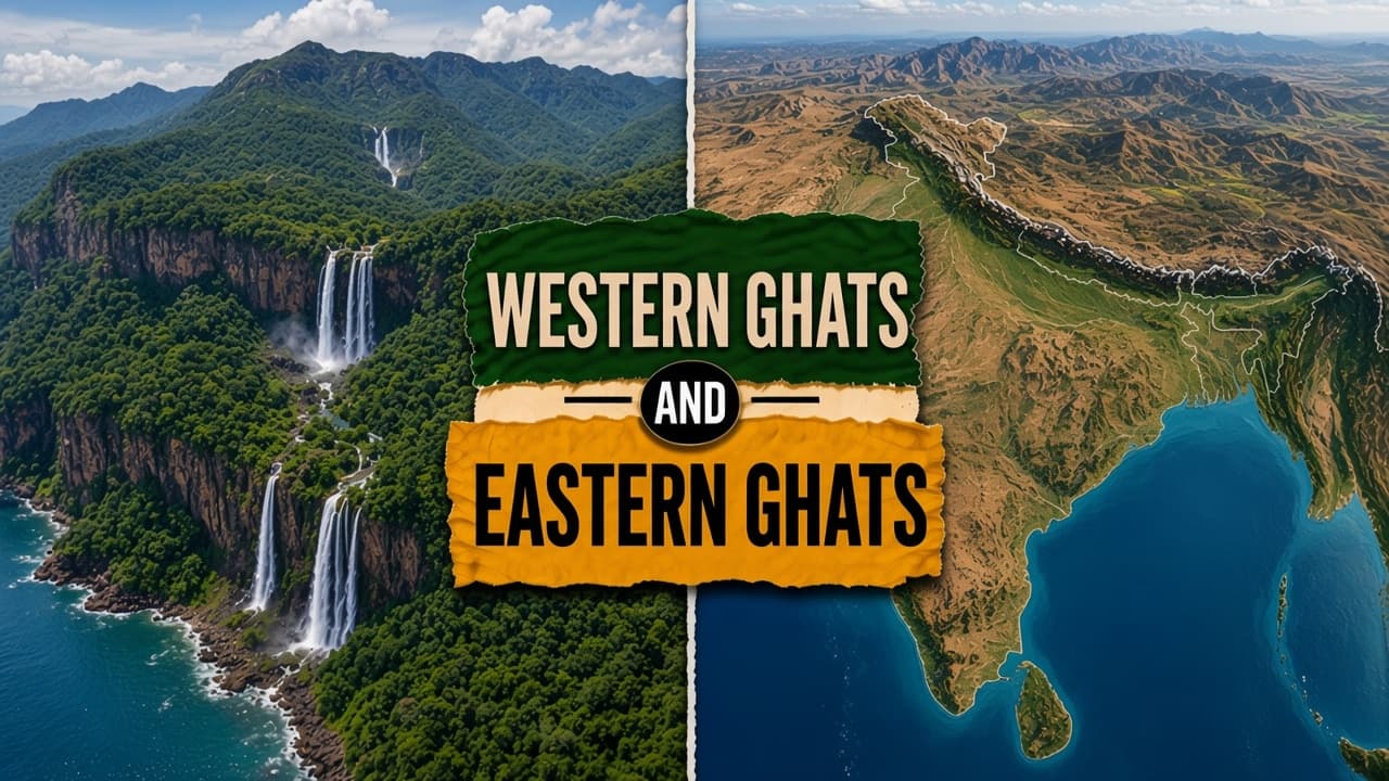
The Western Ghats are a continuous escarpment along India's west coast. They block the southwest monsoon and hold a biodiversity hotspot that UNESCO lists as a World Heritage site. The Eastern Ghats are a discontinuous, lower chain inland from the Coromandel coast, running from Odisha to Tamil Nadu, with coastal plains between the hills and the sea.
Difference between Western Ghats and Eastern Ghats
| Feature | Western Ghats | Eastern Ghats |
|---|---|---|
| Meaning | Continuous west-coast escarpment | Discontinuous hills inland from the east coast |
| Where | From Gujarat to Kanyakumari, facing the Arabian Sea | From Odisha to Tamil Nadu, east of the Deccan, behind the Coromandel plain |
| Height | Anaimudi, 2,695 m, in Idukki district, Kerala | Mahendragiri, about 1,501 m, in Odisha |
| Rain | Windward Mumbai about 2,400 mm; leeward Pune about 700 mm | Weaker orographic lift; Bay of Bengal branch supplies the east coast |
| Rivers | Godavari, Krishna, Cauvery, and Periyar rise here | Mahanadi, and in part Pennar and Palar |
| Life | Hotspot: lion-tailed macaque, Nilgiri tahr; UNESCO serial sites, 2012; tea, coffee, spices | Important biodiversity, less rainforest; dry deciduous and scrub; bauxite and tribal farming |
At a glance
Continuity
Continuous from Gujarat to Kanyakumari
Discontinuous, broken by rivers
Highest peak
Anaimudi, 2,695 m, in Kerala
Mahendragiri, about 1,501 m, in Odisha
Rainfall role
Major orographic barrier for the southwest monsoon
Less blocking; the Bay branch dominates the east coast
UNESCO WHS
Yes, serial sites inscribed in 2012
No comparable serial designation
Example
Mumbai vs Visakhapatnam rain shadow
Mumbai, on the windward slope of the Western Ghats, receives about 2,400 mm of rain and stays lush. Pune, on the leeward side, gets about 700 mm. Visakhapatnam, on the Coromandel plain, receives the Bay of Bengal branch of the monsoon. The Eastern Ghats are lower and broken, so they lift the air less dramatically than the western wall.
What this means for the exam
The Western Ghats are a continuous barrier that forces orographic rain. The Eastern Ghats are fragmented and lower, and they lie east of the Deccan.
Western Ghats
The Western Ghats run unbroken from Gujarat to Kanyakumari. They are the higher, more stable block. Anaimudi, at 2,695 m in Kerala's Idukki district, is the highest peak. Passes include Palakkad, Thal Ghat, and Bhor Ghat. The wall forces the southwest monsoon to rise, so the windward Konkan and Malabar are wet and the land beyond sits in a rain shadow. Mumbai's about 2,400 mm and Pune's about 700 mm show that contrast.
The range is a biodiversity hotspot, home to the lion-tailed macaque and the Nilgiri tahr, with evergreen forest, moist deciduous forest, and shola-grassland. UNESCO inscribed serial sites in 2012. Godavari, Krishna, Cauvery, and Periyar rise here and carry monsoon water toward the drier east. Tea, coffee, spices, and hydro projects use the slopes. The Gadgil and Kasturirangan reports on ecologically sensitive zones follow from that role as a water tower and as a store of species. ESZ notifications assume this physical geography.
Eastern Ghats
The Eastern Ghats are older rock that has been heavily eroded and cut into pieces. Rivers break the chain. They are lower than the western wall. Mahendragiri, about 1,501 m in Odisha, is the high point usually cited. They run from Odisha to Tamil Nadu, inland from the Coromandel coast, with regional gaps such as Araku. They do not form an unbroken wall parallel to the west coast.
Vegetation is more often dry deciduous forest and scrub, with less rainforest. Mahanadi rises in these hills, and Pennar and Palar are linked in part. Bauxite and tribal agriculture matter more here than the western plantation belt. There is no UNESCO serial World Heritage designation comparable to the 2012 Western Ghats listing. The Bay of Bengal branch of the monsoon, not a high continuous scarp, sets the rainfall pattern on this coast.
Key takeaway
The Western Ghats are continuous, wet, and a biodiversity hotspot. The Eastern Ghats are broken, lower, and lie east of the Deccan.
Difference between Western Ghats and Eastern Ghats FAQs
What are the Western Ghats?
The Western Ghats are a continuous escarpment along the west coast, from Gujarat to Kanyakumari. Anaimudi, at 2,695 m, is the highest peak. They block the southwest monsoon and are a UNESCO biodiversity hotspot.
What are the Eastern Ghats?
The Eastern Ghats are a discontinuous, lower hill chain from Odisha to Tamil Nadu, inland from the Coromandel coast. Mahendragiri, about 1,501 m, is the peak usually cited.
What is the main difference between the Western Ghats and the Eastern Ghats?
The Western Ghats are continuous, higher, and wetter, and they carry a UNESCO listing. The Eastern Ghats are broken by rivers, lower, and less of an orographic barrier.
Are the Eastern Ghats a continuous range parallel to the west coast?
No. The Eastern Ghats are discontinuous and lie along the east. The continuous west-coast range is the Western Ghats.
Is Anaimudi the highest peak of the Western Ghats?
Yes. Anaimudi rises to 2,695 m in Idukki district, Kerala.
Do the Eastern Ghats have a UNESCO serial World Heritage listing like the Western Ghats?
No. The Western Ghats received a serial World Heritage inscription in 2012. The Eastern Ghats do not have a comparable listing.
PYQ linkage
Which of the following statements about Eastern Ghats is correct?