
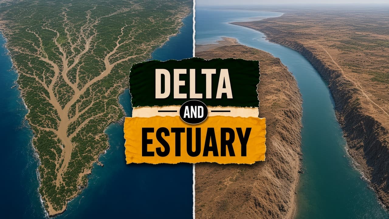
A delta is a landform built where a river lays down sediment faster than waves and tides can carry it away, so an alluvial plain grows out into the sea. An estuary is a tidal mixing zone where river water meets seawater. It is often funnel-shaped, brackish, and without a large sediment plain. High sediment and low tidal energy favour a delta. Strong tides and high wave energy favour an estuary.
Difference between a delta and an estuary
| Feature | Delta | Estuary |
|---|---|---|
| Meaning | Sediment plain built at a river mouth | Tidal zone where river water meets the sea |
| Process | Deposition when sediment load is high and wave and tide energy are low | Tidal mixing and reworked channels, with less net deposition |
| Where | Major examples on the east coast, facing the Bay of Bengal | Common on the narrow western shelf; lower Hooghly also behaves as an estuary |
| Examples | Sundarbans, Krishna-Godavari; also Mahanadi, Godavari, Krishna, Cauvery, Ganga, Brahmaputra | Narmada, Tapi, Thames, and the Hooghly stretch that can show a tidal bore |
| Life | Mangroves, paddy, and aquaculture; dense farming | Mudflats, salt marshes, and ports |
| Use | Embankments and mangrove buffers against surge | Jetties and dredging so ships can use the channel |
At a glance
Dominant process
Deposition of sediments
Tidal mixing, with erosion and deposition in balance
Shape
Triangular or alluvial plain protruding into the sea
Funnel-shaped drowned valley
Salinity
A freshwater zone reaches far inland on the delta plain
Brackish water, with a salt wedge moving upstream
Indian example
Sundarbans and the Krishna-Godavari delta
Narmada estuary and the estuarine stretch of the Hooghly
Example
Sundarbans vs Narmada mouth
The Ganga-Brahmaputra carries a huge load of Himalayan silt into the low-energy Bay of Bengal and builds the world's largest delta, with the mangrove Sundarbans. The Narmada meets the Arabian Sea where waves are strong and sediment is limited. The result is a narrow estuary, not a wide delta plain.
What this means for the exam
In a delta, deposition builds the land outward. In an estuary, river water and seawater mix in tidal channels.
Delta
A delta grows where deposition wins. The river must carry a large sediment load into a calm sea or lake. The Ganga-Brahmaputra does that in the Bay of Bengal and has built the world's largest delta, including the Sundarbans mangroves. East-coast rivers that drain large basins, including the Mahanadi, Godavari, Krishna, and Cauvery, also form notable deltas. The Nile is the classic example outside India. Tides are weaker at the apex and stronger on the delta front.
People farm these plains densely, with paddy and aquaculture, and they build embankments. Ports such as Haldia sit near this coast, but the landform itself is a depositional plain. Salinity intrusion and coastal erosion are managed differently here than on a narrow estuarine mouth. A loose habit of calling the whole Hooghly a delta misses the process: the lower Hooghly acts as an estuary and can show a tidal bore.
Estuary
An estuary is not built mainly by heavy sediment deposition. It is a drowned valley or a mixed zone where tides push seawater upstream and freshwater flows out. The shape is often a funnel. Water is brackish, and a salt wedge can move inland. The Narmada and the Tapi meet the Arabian Sea this way. Short west-flowing rivers, small basins, strong waves, and a steep continental shelf stop large deltas from forming on that coast. The sheltered Bay receives the big east-flowing systems.
Mudflats, salt marshes, and ports such as Mangalore use these channels. Dredging and jetties keep them navigable. The lower Hooghly is the Indian case where students mix the terms: it can show a tidal bore, which is estuarine behaviour. Salinity intrusion and coastal engineering follow the tide, not a growing alluvial fan.
Key takeaway
A delta is a sediment plain built out into the sea. An estuary is the tidal zone where a river mixes with the sea.
Difference between a delta and an estuary FAQs
What is a delta?
A delta is land built where a river drops sediment faster than waves and tides remove it. The Sundarbans, part of the Ganga-Brahmaputra delta, is the largest example.
What is an estuary?
An estuary is a tidal mixing zone where river water meets the sea. It is often a funnel-shaped drowned valley with brackish water. The Narmada mouth is an Indian example.
What is the main difference between a delta and an estuary?
A delta is a depositional plain built outward by sediment. An estuary is a tidal mixing zone with little net build-out. East-coast rivers tend to form deltas. Several west-coast rivers end in estuaries.
Is an estuary formed mainly by heavy sediment deposition at the river mouth?
No. Heavy deposition builds a delta. An estuary is shaped by tidal inundation and mixing.
Are the Sundarbans part of the Ganga-Brahmaputra delta?
Yes. The Sundarbans are the mangrove system of the world's largest delta, built by the Ganga and the Brahmaputra.
Why do the Narmada and the Tapi lack large deltas?
They are short west-flowing rivers with limited basins. High wave energy on the Arabian Sea and a steep shelf prevent a large delta. They end in estuaries.
PYQ linkage
Which Indian rivers form notable deltas on the east coast?