
On 24 June 2026, northern Venezuela was hit by a shallow strike-slip doublet: an M7.2 shock near Yumare / Yaracuy, then an M7.5 shock about 30 seconds later off La Guaira. The pair ruptured the Boconó–San Sebastián fault system on the Caribbean–South American plate boundary. This was not a subduction megathrust. At least 6,300 people were killed — the deadliest earthquakes of 2026. For UPSC the event is the year’s clearest reminder that horizontal slip under a city can out-kill a larger offshore thrust.
Key highlights
- Date: 24 June 2026, about 18:04 local time (22:04 UTC) — a national holiday (Battle of Carabobo).
- Magnitudes: M7.2 foreshock, then M7.5 mainshock ~30 seconds later (USGS).
- Location: Near Yumare and offshore La Guaira; coordinates about 10.44° N, 68.47° W.
- Mechanism: Right-lateral strike-slip on the Boconó–San Sebastián system — not a trench megathrust.
- Plates: Caribbean Plate sliding east relative to South America.
- Depth: Shallow — about 10 km for both shocks.
- Deaths: At least 6,300 — deadliest earthquakes of 2026.
- Tsunami: Advisories farther east in the Caribbean; observed water only centimetres. Casualties were from shaking and collapse, not from a wave.
- Exam hook: Contrast with the June Mindanao megathrust: same month, opposite mechanism, opposite death-to-magnitude ratio.
Where did the Venezuela earthquakes strike?
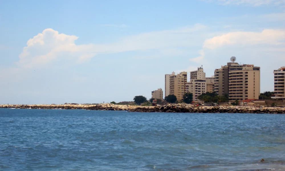
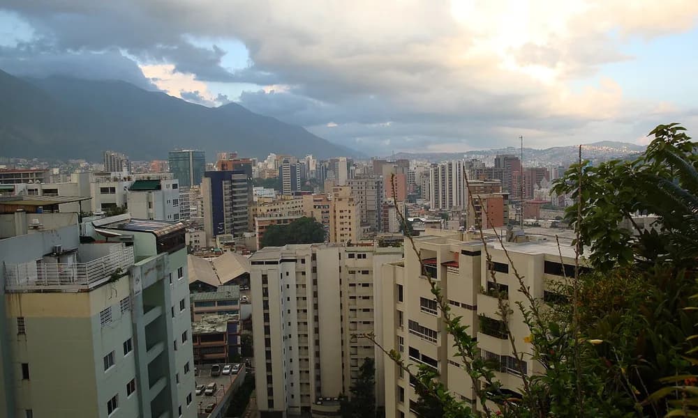
The first epicentre was in Veroes Municipality, west of San Felipe, the capital of Yaracuy. The second sat in the Caribbean off La Guaira, west of Catia La Mar, on the coastal strip that also holds Simón Bolívar International Airport — the airport that serves Caracas. The capital itself sits just south of the Coastal Range (the Ávila). That geography put millions of people inside a few tens of kilometres of a shallow, east–west rupture.
Do not place this event on the Pacific Ring of Fire. Venezuela’s north coast faces the Caribbean Sea. The Pacific megathrust that produced the Chiapas M7.3 in July is a different ocean and a different plate pair. The Venezuelan boundary is a transform / transpressional zone: plates sliding past each other, with some compression, not a classic trench.
| Fact | Detail |
|---|---|
| Date | 24 June 2026 |
| Magnitudes | M7.2 then M7.5 (USGS) |
| Interval | About 30 seconds |
| Depth | Shallow — about 10 km (both) |
| Epicentres | Yaracuy (Yumare / Veroes) and offshore La Guaira |
| Coordinates (approx.) | 10.44° N, 68.47° W |
| Faults | Boconó and San Sebastián (right-lateral) |
| Plates | Caribbean – South American |
| Type | Strike-slip doublet (not megathrust) |
| Deaths | ≥ 6,300 |
| Tsunami | Advisories issued; ~4 cm at some Caribbean gauges |
| Strongest since | 1900 San Narciso earthquake (national record) |
Aspirants should lock doublet, strike-slip, and ≥6,300. A question that calls this a “Pacific subduction tsunami disaster” is wrong on ocean, mechanism, and cause of death.
What is an earthquake doublet?
A doublet is two large earthquakes of similar size that strike close together in time and space, often on linked fault segments. It is not a mainshock plus a small aftershock. Both events here were M7+. USGS and later finite-fault models treated them as a single sequence lasting about a minute to a minute and a half, with two pulses of energy release.
The first pulse (M7.2) broke an onshore, east–north-east stretch near Yaracuy. The second (M7.5) broke a longer offshore stretch of the San Sebastián Fault toward La Guaira and the approaches to Caracas. Slip on the longer segment was greater. Because the ground had not finished shaking from the first event when the second began, buildings already cracked were hit again. That compounding is why seismologists flag doublets as especially dangerous in cities.
Italy’s INGV and other groups later modelled the pair as one M7.6-class rupture about 200 km long from near Morón toward Caracas, with peak slip of a few metres. Different agencies will quote slightly different single-event magnitudes (GEOSCOPE briefly listed a single M7.8). For exam answers, stay with the USGS pair: M7.2 and M7.5.
Tectonics: Caribbean against South America — not a megathrust
Northern Venezuela lies in a broad boundary zone between the Caribbean Plate and the South American Plate. The Caribbean Plate moves east relative to South America at roughly 20 mm/year overall; the share taken by the Venezuelan faults is about 10 mm/year. That motion is mostly right-lateral strike-slip: if you stand on one side of the fault, the other side moves to your right.
The principal through-going structure is a chain more than 1,300 km long:
- Boconó Fault — through the Venezuelan Andes, last ruptured in a large event in 1812.
- San Sebastián Fault — mostly offshore along the north-central coast, north of the Coastal Range; a short onshore piece near the airport is sometimes called the Bruscas Fault.
- El Pilar Fault — farther east, toward the Cariaco Basin and Trinidad.
The 24 June doublet sat on this Boconó–San Sebastián transfer. USGS placed the M7.5 mainshock on the San Sebastián system near La Guaira. That is a horizontal rupture. It is the South American analogue of the San Andreas or of Turkey’s North Anatolian Fault — not of the Japan Trench or the Sunda Trench.
Why does this matter for a tsunami question? Strike-slip faults move rock sideways. They do not efficiently lift or drop the seafloor. A small water signal is possible if there is a vertical component or a coastal landslide, and Caribbean centres did issue short-lived advisories for Puerto Rico, the Virgin Islands, and the Dominican Republic. Gauges later showed about 4 cm at Isla de Mona and Yabucoa, and 2 cm at Fort-de-France. That is not a 2004- or 2011-style tsunami. The dead were under concrete, not under a wave.
The Mindanao M7.8 sixteen days earlier is the opposite textbook page: thrust on a trench, regional tsunami warnings, fewer deaths than Venezuela despite a larger magnitude. Keep the two June events as a paired revision card.
A third 2026 contrast is the Hindu Kush shock: an intermediate-depth quake in a collision zone, felt in north India. Venezuela is shallow, transform, and Caribbean. Three mechanisms, three exam sentences.
Why this doublet became the deadliest shock of 2026
Magnitude is a poor predictor of deaths. Four facts stacked here.
Shallow focus. Ten kilometres puts strong shaking into the building stock instead of dissipating it at depth. Intermediate-depth Hindu Kush events can be felt across countries and still kill fewer people than a shallow urban M7.
Distance to a capital and a port city. Caracas, La Guaira, Catia La Mar, and the international airport sit on or next to the rupture. La Guaira state saw catastrophic collapse — official language spoke of the large majority of buildings in the worst coastal towns being destroyed or heavily damaged. Soft-storey apartment blocks and older reinforced-concrete frames performed badly. After the 1967 Caracas earthquake, codes were rewritten; enforcement and later housing drives did not keep every tower up to that standard.
A holiday evening. 24 June is Battle of Carabobo day. More people were at home, in coastal hotels, or in residential towers than on a ordinary weekday commute. Hotel collapses in La Guaira trapped visitors and, in one widely reported case, people who had just arrived on a deportation flight.
A second pulse at 30 seconds. Search-and-rescue literature treats the “already damaged then hit again” sequence as a multiplier. The M7.5 was also the strongest earthquake in Venezuela since 1900.
USGS PAGER issued a red alert and assigned a high probability of a four- or five-figure death toll. United Nations damage estimates later ran from several billion dollars in housing alone to tens of billions in direct damage when infrastructure was included. Those numbers will move in later reports. The exam-stable casualty floor is at least 6,300 killed.
Felt reports reached Bogotá, parts of northern Brazil, the ABC islands, the Dominican Republic, Puerto Rico, and Trinidad and Tobago. Felt area is not the same as damage area. The disaster core was La Guaira–Caracas–Carabobo–Aragua–Yaracuy.
Historical earthquakes on the same boundary
UPSC sometimes asks “which fault” by offering a historical pair. Useful names:
| Year | Event | Why it matters |
|---|---|---|
| 1812 | Caracas / Boconó rupture | Last large Boconó break; slip deficit had been discussed before 2026 |
| 1900 | San Narciso (about M7.6–7.7) | Previous national maximum; attributed to eastern San Sebastián |
| 1967 | Caracas | Modern code-writing shock; 200+ deaths; still in engineering memory |
| 2026 | M7.2 + M7.5 doublet | Deadliest of the year; San Sebastián–Boconó transfer |
The Cariaco pull-apart basin separates San Sebastián from El Pilar. A 2015 marine study had already pointed to the eastern San Sebastián as the 1900 source. The 2026 rupture filled a western-to-central piece of that coastal system. You do not need the kilometre-by-kilometre slip map in Prelims. You do need: same plate boundary, strike-slip, not a Pacific trench.
Why this matters for UPSC
Prelims. The likely item is a statement set: “The 2026 Venezuela earthquakes occurred on a subduction megathrust and generated a trans-Pacific tsunami.” Both clauses are false. Correct pairing: Caribbean–South American boundary, right-lateral strike-slip, Boconó / San Sebastián, doublet, shallow, ≥6,300 dead. A map question may mark the south Caribbean, not the Middle America Trench.
GS-1. Use the event to teach transform versus convergent boundaries. One paragraph can place Venezuela with the San Andreas class and Mindanao / Chiapas / Sanriku with the trench class. Add that transpression (strike-slip plus compression) builds the Venezuelan Coastal Range and the Mérida Andes — mountains without a classic volcanic arc on this segment.
GS-3. Disaster management questions write themselves: urban seismic risk, building codes versus enforcement, holiday-time occupancy, airport and port failure, and the difference between a tsunami-centred SOP and a collapse-centred SOP. International search-and-rescue arrived; the first hours were still local volunteers in La Guaira. That is a governance point, not a coaching pitch.
Current affairs stacking. June 2026 holds two flagship quakes. Revise them together with July’s Chiapas megathrust and April’s Sanriku and Hindu Kush cards on the Places in News timeline.
Facts that are easy to mix up
Megathrust versus strike-slip. If the sentence contains “trench,” “Cocos,” or “Pacific tsunami,” it is probably Chiapas or Mindanao. If it contains “Caribbean Plate,” “Boconó,” or “doublet,” it is Venezuela.
M7.5 versus “the only shock.” There were two M7-class events. Calling it a single M7.5 is incomplete. Calling it a volcanic eruption is simply wrong.
Deaths from tsunami. Observed Caribbean water was centimetres. The death toll is a shaking toll.
Caracas on the Pacific. Caracas is on the Caribbean side of South America. The Andes here are a transform-related range, not a Cascadia- or Andes-of-Chile-style trench volcano chain in the 2026 story.
Hindu Kush comparison. Both events killed people in 2026. Hindu Kush was deep and felt in India. Venezuela was shallow and Caribbean. Do not merge them into “one Himalayan-Caribbean collision.”
6,300 as a final census. Official and media tallies moved through June and July. The stable exam floor is at least 6,300. Do not invent a round 10,000 unless a later official figure is set; PAGER probabilities are not death counts.
Plate-boundary revision in one paragraph
Write this once and reuse it. The Caribbean Plate is a small plate carrying the Caribbean Sea. On its north side it interacts with North America (Puerto Rico Trench, Cayman Trough). On its south side it scrapes east along South America on the Boconó–San Sebastián–El Pilar chain. On its east side the Lesser Antilles trench is a true subduction zone — that is Barbados and the volcanic arc from Saba to Grenada, not the 24 June epicentres. Mixing “Caribbean Plate” with “Lesser Antilles megathrust” is the sophisticated trap. The 2026 doublet was on the southern transform, not the eastern trench.
Prelims snapshot
| Question type | Answer to lock |
|---|---|
| Date | 24 June 2026 |
| Magnitudes | M7.2 then M7.5 |
| Type | Strike-slip doublet |
| Faults | Boconó–San Sebastián |
| Plates | Caribbean – South American |
| Depth | About 10 km |
| Nearest cities | Yumare / San Felipe; La Guaira; Caracas |
| Deaths | ≥ 6,300 (deadliest of 2026) |
| Tsunami | Negligible (cm-scale) |
| Not this | Pacific megathrust; Cocos Plate; Middle America Trench |
Frequently asked questions
What were the 2026 Venezuela earthquakes?
A shallow strike-slip doublet on 24 June 2026: M7.2 near Yaracuy, then M7.5 about 30 seconds later off La Guaira. The shocks ruptured the Boconó–San Sebastián system on the Caribbean–South American boundary. At least 6,300 people were killed.
Why is this called a doublet and not a mainshock–aftershock pair?
Both events were M7-class and only half a minute apart on linked segments of the same plate-boundary fault. An aftershock is usually much smaller than the mainshock. A doublet is two comparable ruptures. Damage compounded because the second pulse hit already weakened buildings.
Was the Venezuela earthquake a subduction megathrust?
No. It was right-lateral strike-slip. There is no Middle America–style trench under Caracas. The Caribbean Plate is sliding past South America. That is why the tsunami was trivial and the urban collapse was not.
Why were so many people killed compared with larger 2026 megathrusts?
The rupture was shallow, next to Caracas and La Guaira, on a holiday evening, and came as two pulses. Building stock included vulnerable towers. The Mindanao M7.8 was larger but offshore; the Chiapas M7.3 was a megathrust with no fatalities. Magnitude alone does not rank deaths.
Did the earthquakes cause a dangerous tsunami?
Caribbean centres issued short advisories. Recorded amplitudes were a few centimetres. Casualties were from ground shaking and building collapse, not inundation.
Which faults should aspirants name?
Boconó Fault (Venezuelan Andes; 1812 precedent) and San Sebastián Fault (coastal / offshore; USGS mainshock). Together they are the southern Caribbean plate-boundary system, linking toward the El Pilar Fault in the east.
What should UPSC aspirants remember?
Date (24 June 2026), M7.2 + M7.5, 30 seconds, strike-slip doublet, Caribbean–South America, Boconó–San Sebastián, shallow, La Guaira / Caracas, ≥6,300 dead, deadliest of 2026, not a megathrust.